Water Sources
Visit the Maps and Info page for an interactive map that includes water sources.

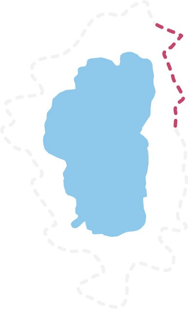 24.1 miles
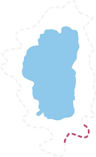
 18.3 Miles

Post with #tahoerimtrail and we'll share our favorites!
This site is protected by reCAPTCHA and the Google Privacy Policy and Terms of Service apply.
Crew Leaders | Guides | Board
